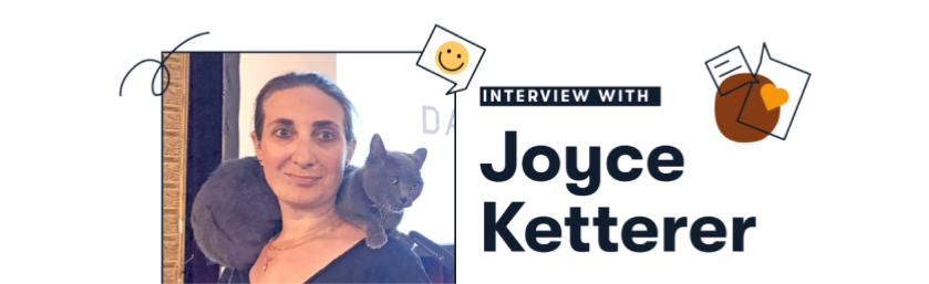
Organize Assets With Extensis Connect // Update Suitcase Fusion
Whether you’re an individual creative or searching on behalf of a large organization, Extensis offers the ideal solution for your needs.
Organize and distribute fonts across your organization.
Open MrSID files directly in Adobe Photoshop.
Ensure fonts, images, audio, and video files are organized and easily...
Learn moreWant to get started ASAP? Look no further.
Gain insights directly from our team of experts.
See how organizations have found great success with Extensis products.
Having an issue? We can help.
Learn about DAM, Font Management, MrSID, GIS Tools, and more.
Not seeing what you need? You’ll find it in our Resources section.
In-depth information to help you get the most from our solutions.
The sum total of our knowledge is available to you.
Your guide to digital asset management.
Learn more about font management.
How can MrSID boost your efficiency? Read on.
Learn how Galleries, Libraries, Archives and Museums (GLAMs) benefit from Digital Asset Management
GIS tools for image compression, visualization, analysis, and sharing
Extensis has a rich history in the geospatial industry.
At the core of all our GIS imagery solutions is MrSID — a unique, proprietary compression format first developed at the Los Alamos National Research Laboratory. This format changes the way GIS professionals can access, view, edit, and share geospatial imagery.
It has an impressive compression rate for lossless and visually lossless compression. The MrSID compression format uses wavelet technology and also creates built-in pyramids, which enable users to move through large imagery files quickly and easily, viewing selected areas as they please — in real time. Other file formats can cause significant delays in viewing, as programs are forced to reload entire files for every action a user takes.
LizardTech enabled users to implement this technology at various points in their workflow, from ingesting visual data to serving it up, and everything in between. Since LizardTech merged with its sister company Extensis, this technology is now complemented with powerful digital asset management tools for managing, accessing, searching, and sharing imagery collections.
Easily keep your brand assets organized, up-to-date, and available.
learn moreA comprehensive, powerful application for geospatial imagery compression and customization. Reduce file size while maintaining image quality. Crop, color balance, re-project, combine multiple images into seamless mosaics, and more. Export and share imagery.
learn moreUse GeoViewer to display and explore MrSID files, raster imagery, LiDAR point clouds, vector overlays, and more. Customize your display settings, export imagery, and even take high-resolution imagery on-the-go with you on your mobile device.
learn moreExpress Server is the fastest way to serve up geospatial images and LiDAR to clients, user bases, and the public. Express Server identifies, extracts, and delivers only the pixels being viewed at an exact moment, reducing speed and effectively serving imagery over any connection.
learn moreMaximize the value of your GIS imagery and data with the power of digital asset management. Portfolio functions as GIS asset management software, empowering you make your GIS assets easily searchable, accessible, and shareable for your team.
learn moreOur GIS tools can add value to any workflow, but they’re especially effective when used together. The Québec Ministry of Sustainable Development, Environment, and Parks uses GeoExpress and Express Server together to save on storage, share imagery, and work more quickly.
© 2021 Celartem, Inc. dba Extensis. All rights reserved. // Privacy Policy // Privacy Shield // Terms of Use // Sales & Refund //
© 2021 Celartem, Inc. dba Extensis.
All rights reserved.